Clan Maclean History Map
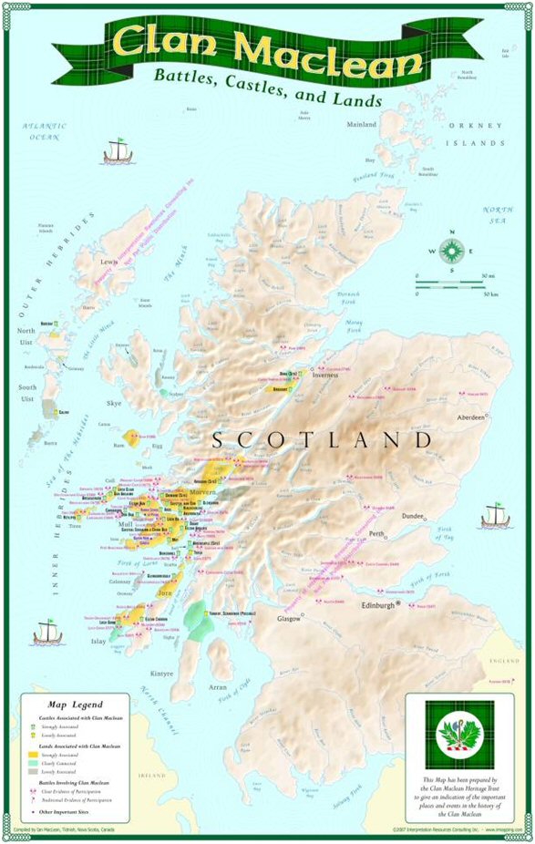
The Trust has produced a map of Scotland that highlights the history of the Clan Maclean.
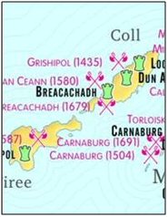
The map, which covers a period of 500 years starting in the mid-13th century, features the sites of castles that have Maclean connections, land areas that the Macleans held for at least some time, and battles. The major battles in which Macleans were involved are all listed, as are many of the more notable clan fights.


It has been produced by Ian MacLean, a Trustee of the Heritage Trust, in conjunction with I.R. Mapping, a Canadian mapping firm. He has used all the classic Maclean history books, as well as many other  books on Scots history, as his sources. Other Trustees, Allan Maclean of Dochgarroch and Fiona Maclean of Ardgour, provided much guidance and assistance.
 books on Scots history, as his sources. Other Trustees, Allan Maclean of Dochgarroch and Fiona Maclean of Ardgour, provided much guidance and assistance.
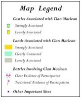
The 18" x 24" maps are in full colour and are suitable for mounting or framing. They are a wonderful way to view Scotland via the history of the Macleans. Each map is accompanied by a sheet that explains how the castles, lands and battles were selected and how the map is coded to reflect the strength of the Maclean association with each castle, land area and battle concerned.
The maps cost £5.00 each, plus postage and packing. They are despatched in a tube for their protection and to avoid the need to fold them. They will normally be sent by second class post within the UK and by airmail overseas.
The maps can be ordered and paid for via our online bookshop. For those who have no access to the internet, order forms are available from your local Association or directly from the Heritage Trust (e-mail or write to the Secretary). Order forms may also be down-loaded from here.
